newy.com.au – Residents of Newcastle’s western suburbs are being encouraged to share their experiences with flooding as part of a major update to the Hexham and Woodberry Swamp Flood Study, which will help inform flood mitigation and risk management efforts across the region.
City of Newcastle is leading the study with support from Maitland City Council, Cessnock City Council and the Department of Climate Change, Energy, the Environment and Water. The project covers about 200 square kilometres of catchment, including key areas such as Wallsend, Jesmond, Fletcher and Beresfield.
Executive Manager Environment and Sustainability, Marnie Kikken, said the updated study builds on work last completed in 2008 and will take advantage of improvements in flood modelling and remote sensing.
“Since the last study was completed in 2008 there have been significant advances in flood modelling capability and remote sensing technology, as well as an increase in development across Newcastle,” Ms Kikken said.
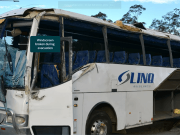
“The Newcastle Local Government Area was built on a low-lying floodplain and approximately 30% of current residential properties are impacted by flash flooding.
“It’s not possible to stop significant flooding from occurring by simply widening channels or investing in larger pipes. Rebuilding the city’s drainage system to accommodate flooding would require massive changes that would make many suburbs unrecognisable.”
The new study aims to deepen understanding of flood characteristics, including depth, spread and hazard levels, while also considering the influence of climate change. Findings from this work will inform future planning, preparedness and community education efforts.
Data gathered from the community will supplement existing technical information to refine the accuracy and usefulness of the study. Residents can participate by completing an online survey or uploading comments and photos to an interactive map via the City of Newcastle’s Have Your Say platform.
The State Emergency Service (SES), which is updating its Flood Emergency Management Plan for the area, will incorporate outcomes from the study into its operational response plans.
“It could help inform future plans and community preparedness ahead of flooding,” said Acting Northern Zone Commander Graeme Craig. “It is critical people understand their flood risk, and we will continue to work with local councils and the community.”
The Hexham and Woodberry Swamp Flood Study is supported by funding from the NSW Government’s Floodplain Management Program and aligns with the NSW Flood Risk Management Manual (2023) and the Australian Rainfall and Runoff Guidelines (2019).